

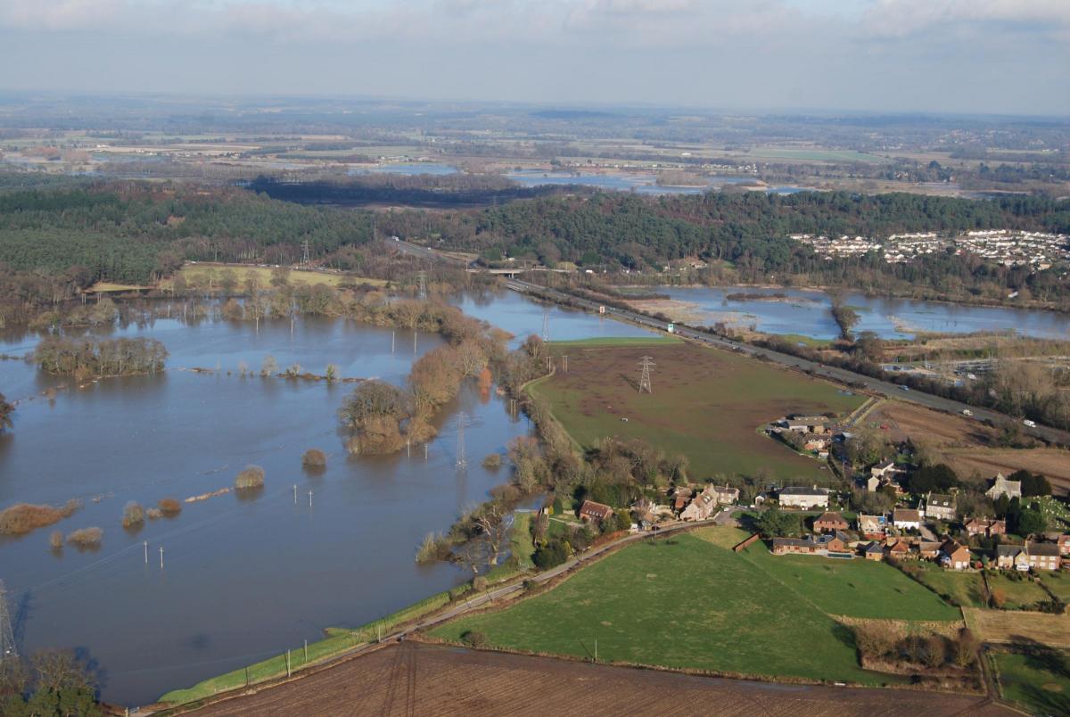
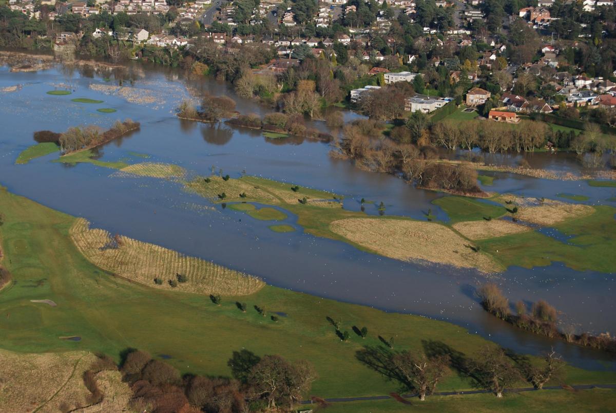
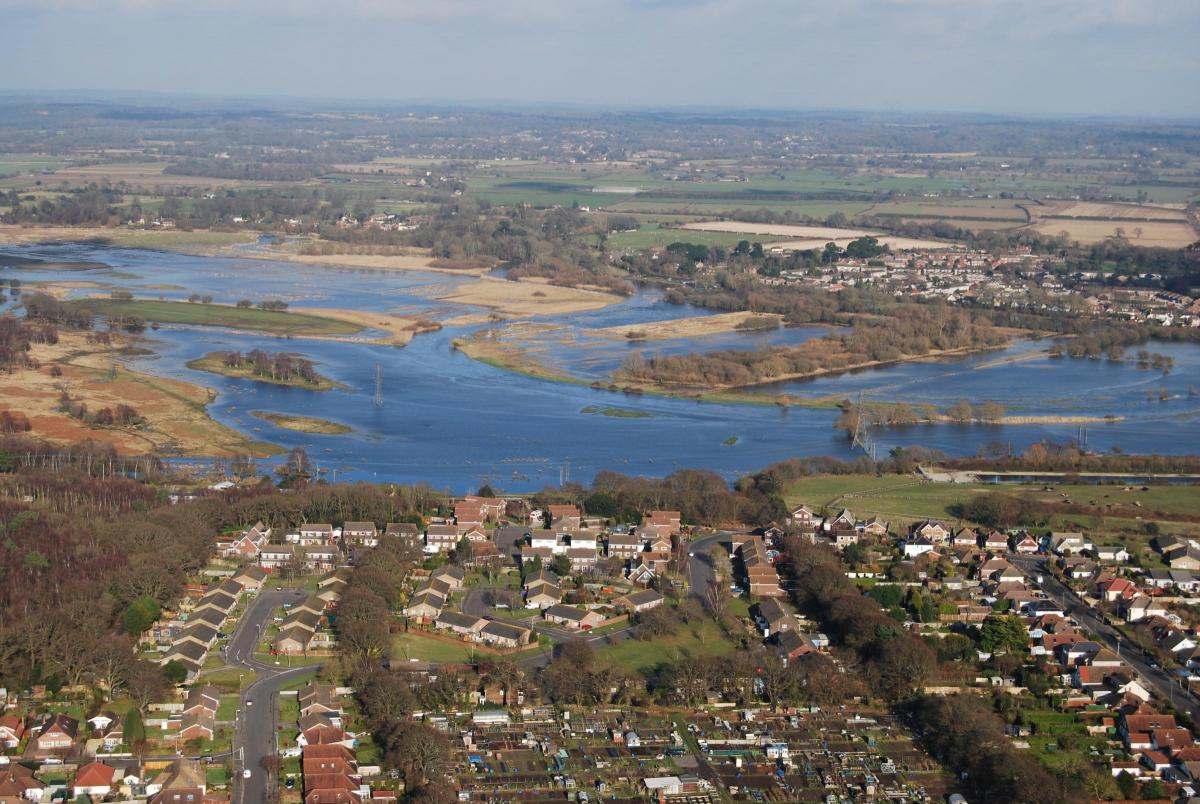
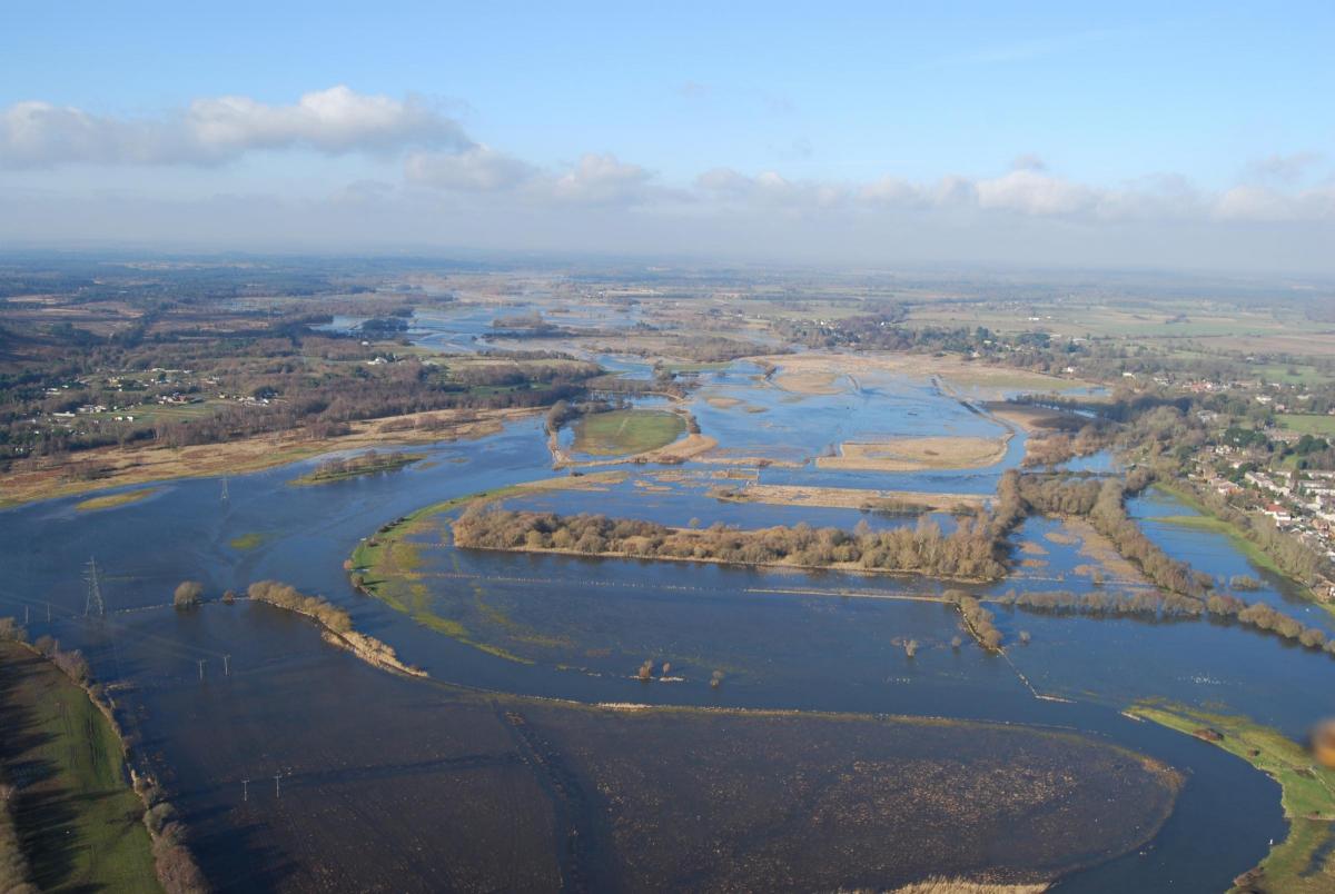


With yellow weather warnings in place across Dorset today, the Echo looks back at pictures of the flooding that hit Bournemouth and surrounding areas 14 years ago.
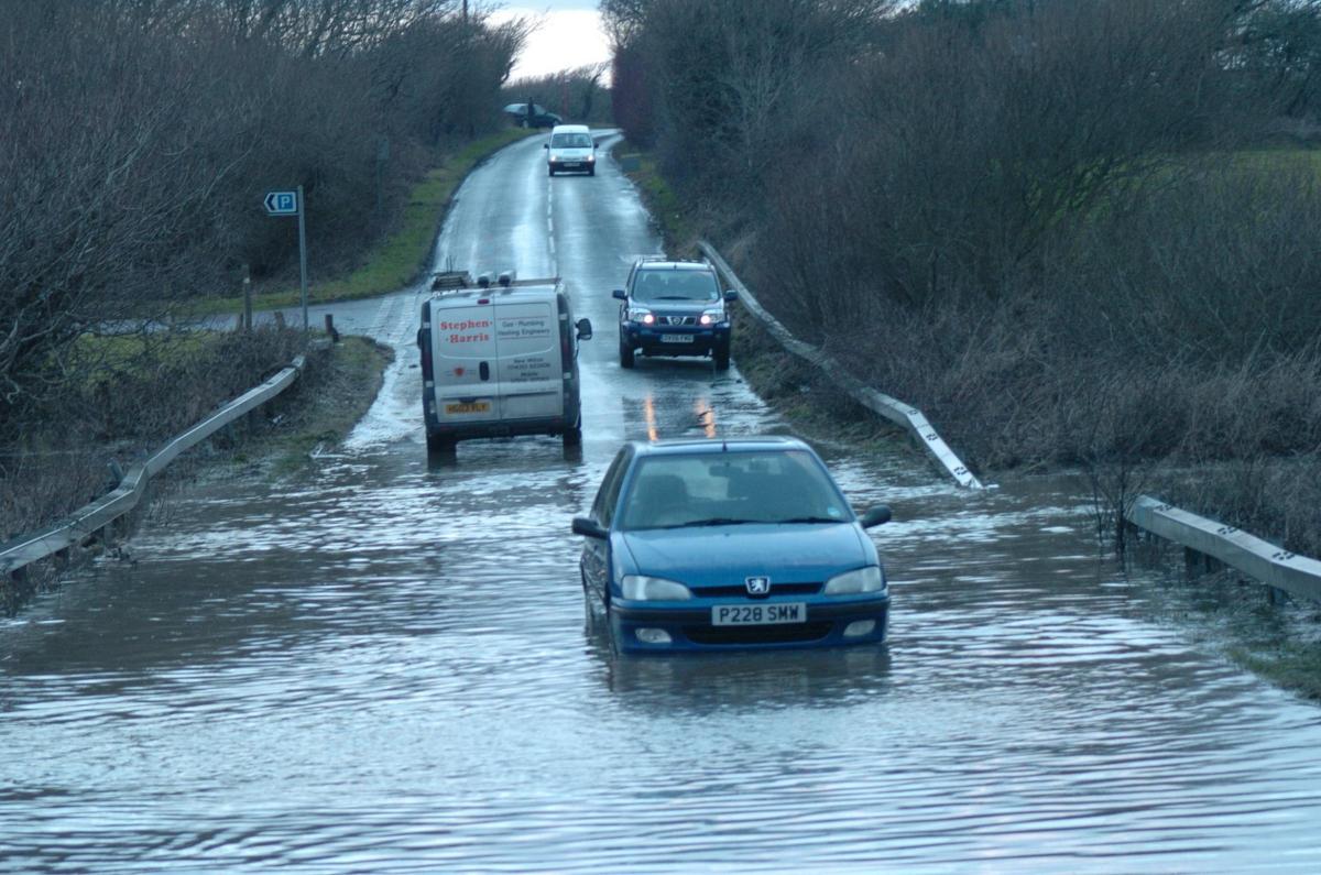
Dorset Police warned drivers on February 10, 2009, to take care while driving through surface water and that road closed signs were in place for good reason and should not be ignored.
But that did not stop traffic chaos from ensuing across much of the area.
Read: Ringwood Brewery closing after 45 years in Hampshire >>>
Due to extensive flooding in Sway, commuters travelling from Bournemouth were affected as trains between Bournemouth and Brockenhurst or Southampton were replaced by buses.
Two roads were partially blocked off; the A35 at Lytchett Minster and the A350 at Spetisbury near Blandford and between New Milton and Lyndhurst. Travellers on those routes experienced major disruption as a result.
The problem was further compounded when the A338 became partially blocked because of an accident at the Bournemouth West junction and then a lorry wheel in the carriageway on the A31 caused accidents and queueing traffic at the Ashley Heath interchange.

Parley Lane, the airport boundary road, was flooded and so was the Bakers Arms roundabout, but neither were closed. The A351 at Corfe Castle at the junction to Studland was flooded, making the route impassable.
Flooding caused the shut-down of Blandford Road in Upton, Poole and readers reported delays on the buses in the area.
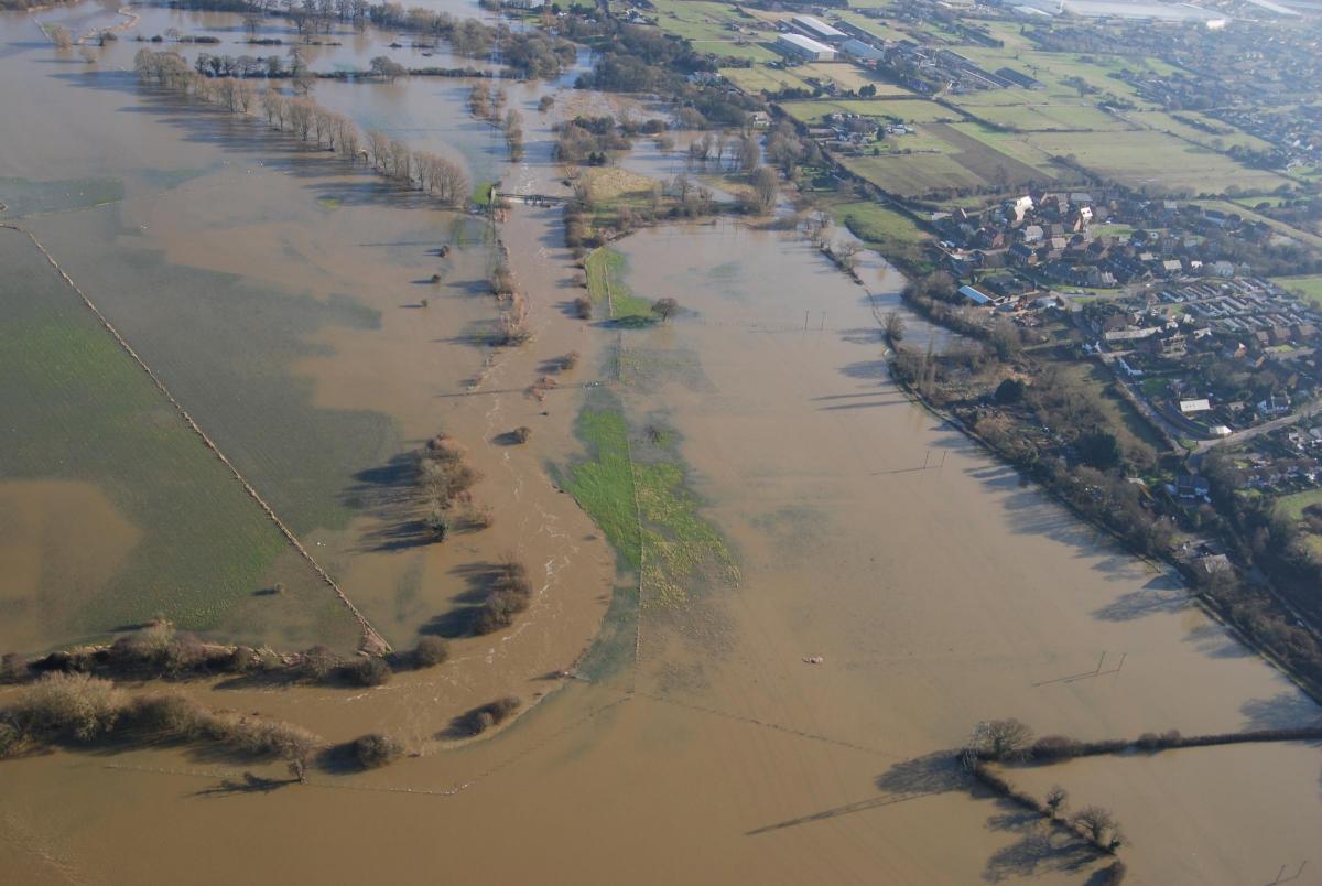
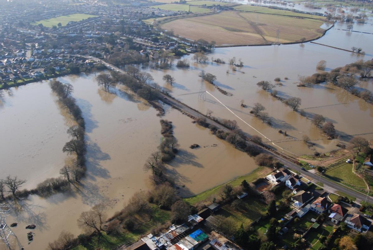
These pictures work as a reminder of how heavy the rains were at the time.


Comments: Our rules
We want our comments to be a lively and valuable part of our community - a place where readers can debate and engage with the most important local issues. The ability to comment on our stories is a privilege, not a right, however, and that privilege may be withdrawn if it is abused or misused.
Please report any comments that break our rules.
Read the rules hereLast Updated:
Report this comment Cancel