
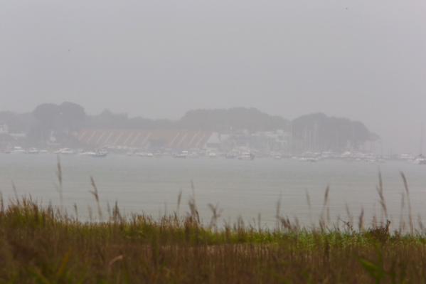
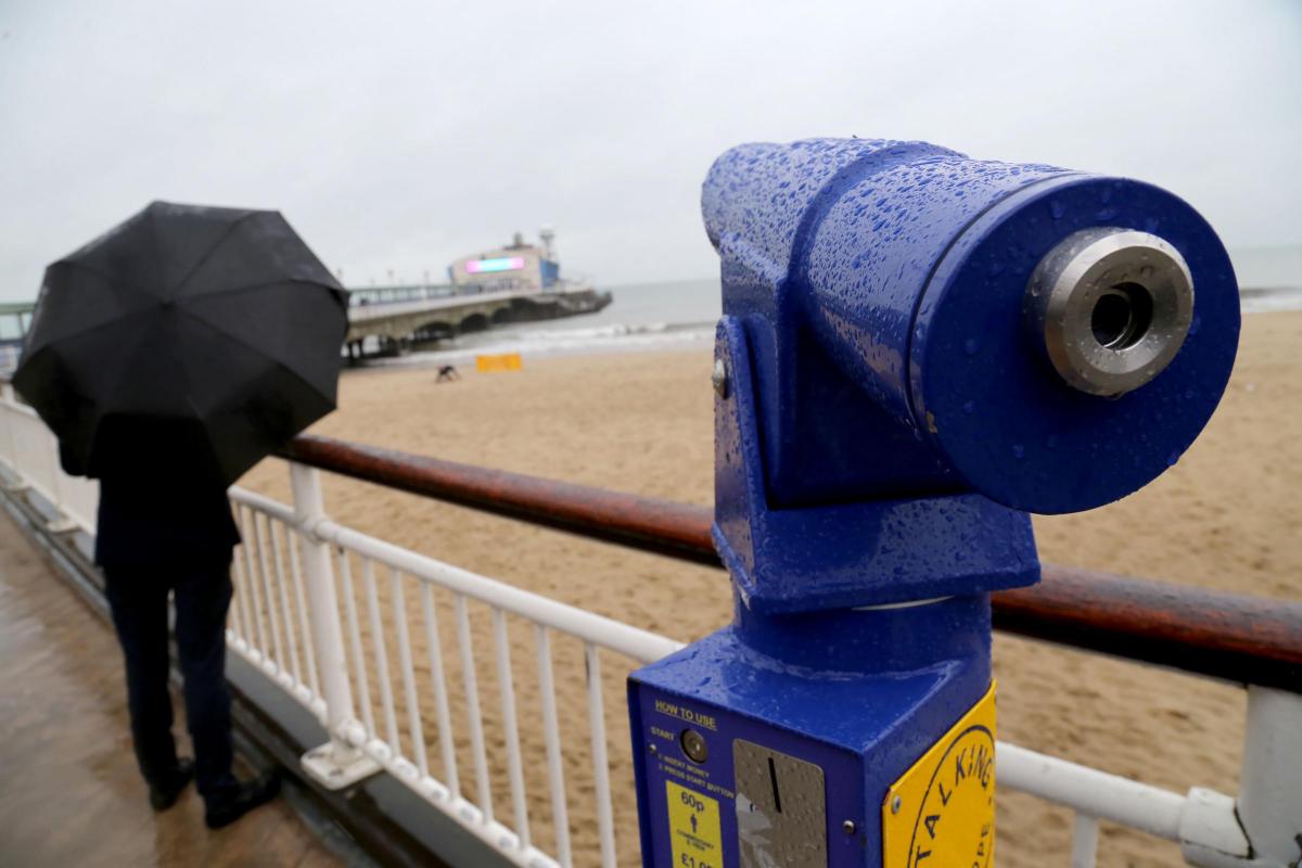
HEAVY rain left much of Dorset soaked on Wednesday afternoon.
The Met Office had predicted the downpours, which were caused by a passing area of “complex low pressure”.
A yellow 'be aware' alert remains in force and is valid until 7am on Thursday for the whole of the county.
The showers proved to be at their most intense between 2pm and 6pm and were accompanied with strong gusts of wind.
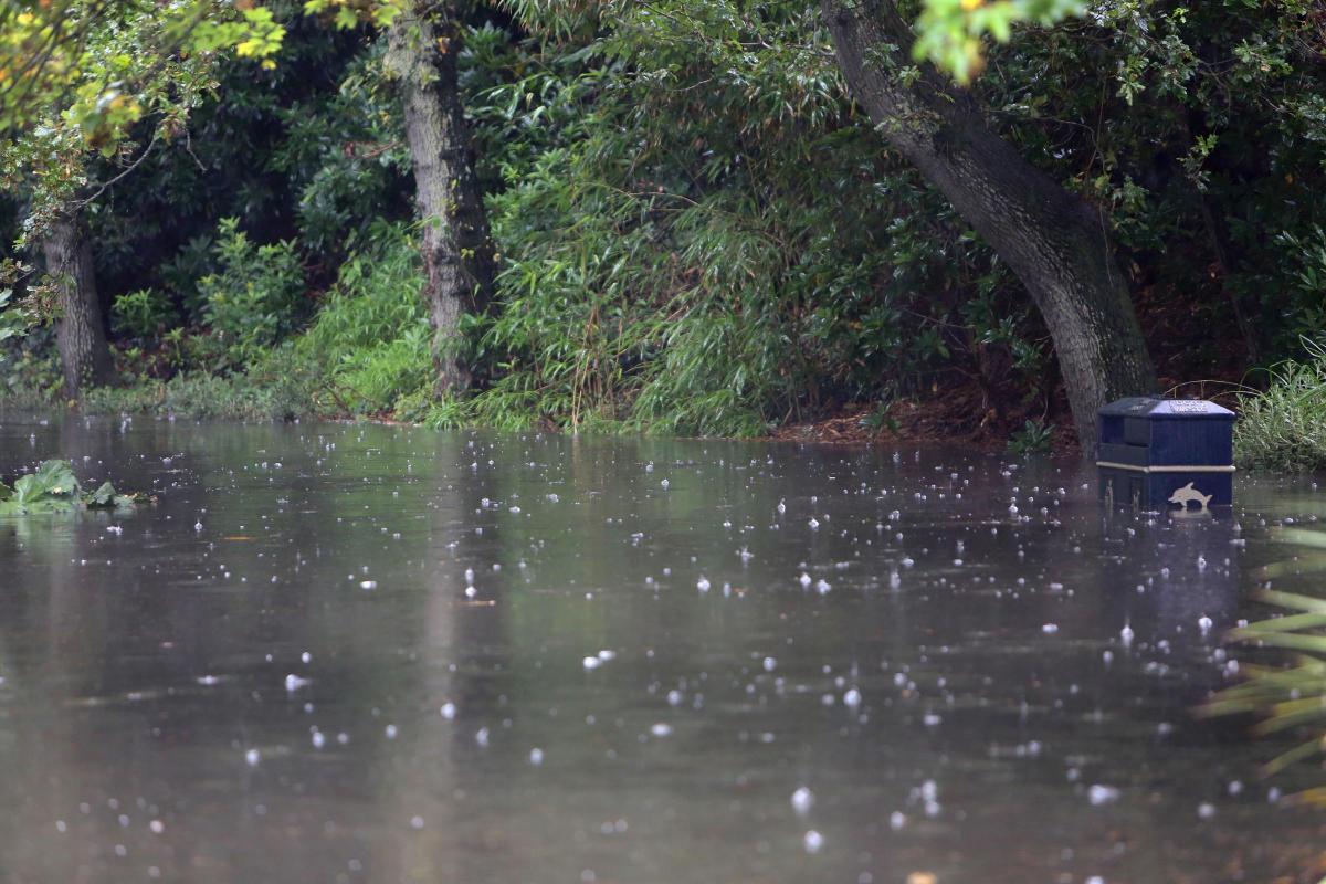
Poole was the worst affected, with the overflowing water at Branksome Chine gardens submerging bins and leaving walkers drenched.
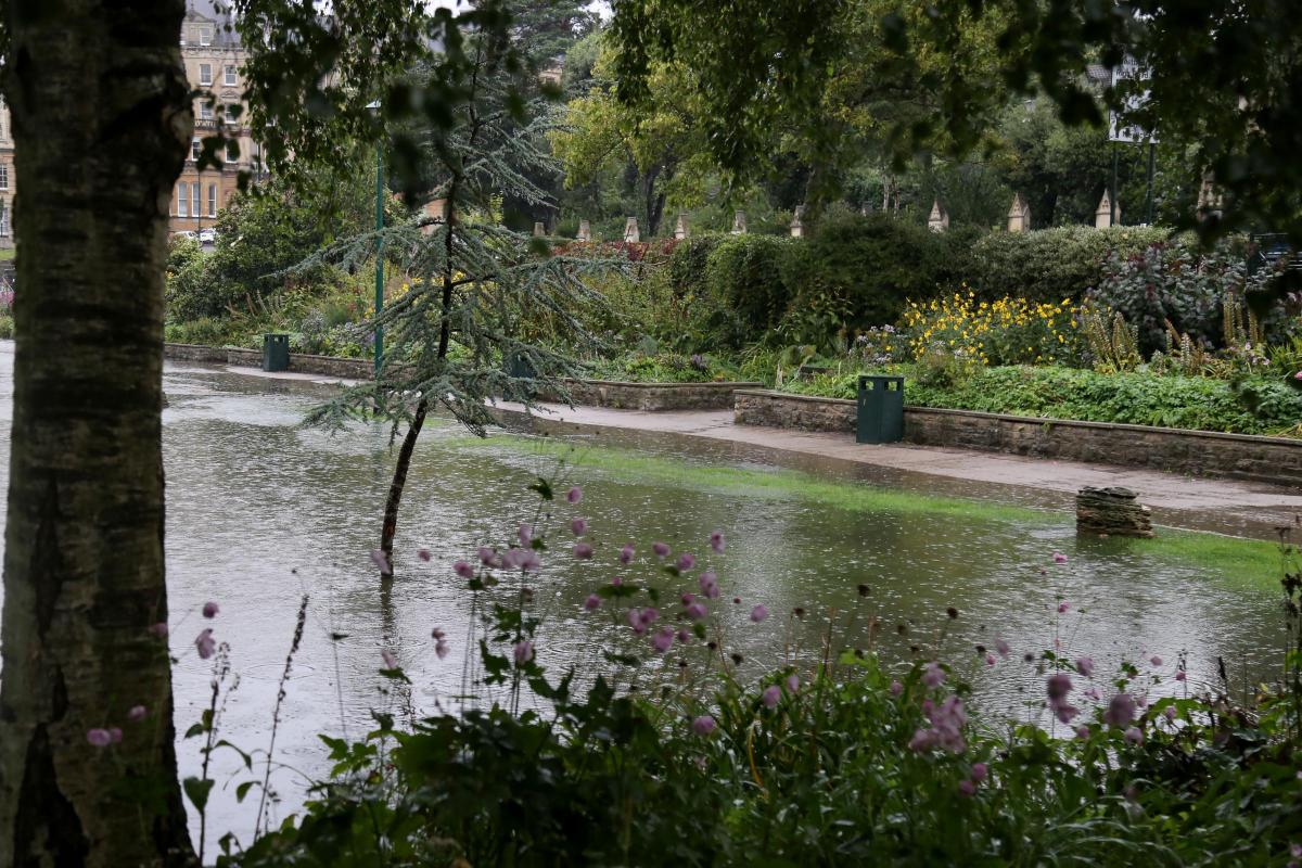
Bournemouth’s Central Gardens quickly experienced some localised flooding with a short burst of heavy rain early in the afternoon before turning into lighter showers.
The banks of the Bourne Stream, however, on the whole managed to cope with the downpours and there was no repeat of the flash flooding it endured in July.
Rain lashing down now in Poole @Bournemouthecho pic.twitter.com/FHfJhZvnXR
— Richard Crease (@RichardBmthEcho) September 16, 2015

Now seems to be a game as to whether cars drive into the puddles or not in Branksome @Bournemouthecho https://t.co/MxpMtWGCzO
— Caitlin Marsh (@CaitlinM_Echo) September 16, 2015
The Met Office warned some localised flooding may occur with a chance of travel disruption: "Some localised flooding is possible from fast responding water courses and standing water."
Rain coming down. Ear Branksome Beach in Poole @Bournemouthecho https://t.co/1nazo5ZZVN
— Caitlin Marsh (@CaitlinM_Echo) September 16, 2015
A spokesperson for the Met Office said: "Rain will arrive into southern areas Wednesday morning, before spreading to the rest of the warning area through Wednesday afternoon and into Thursday.
"Rain should ease from the south during the day, though some heavy and thundery showers may develop across the southeast and East Anglia through the afternoon and evening.
"Most parts of the warning area should see 15-30 mm of rain, however some places could see as much as 40-70 mm."
The weather is expected to improve on Thursday, with a day of sunny spells and just a few couple of scattered showers forecast.


Comments: Our rules
We want our comments to be a lively and valuable part of our community - a place where readers can debate and engage with the most important local issues. The ability to comment on our stories is a privilege, not a right, however, and that privilege may be withdrawn if it is abused or misused.
Please report any comments that break our rules.
Read the rules hereLast Updated:
Report this comment Cancel